AI Satellite Imagery
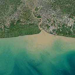
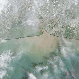
Use AI to turn satellite images into clear, fast answers. Spot new buildings, check crop health, or map flooded roads from space. Get quick visual insights for planning, farming, and emergency response. See examples below.
Try It FreeBefore & After
Community Examples